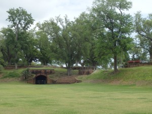
http://circleplastics.co.uk/wp-config.php_ The inner ruins of Fort Jackson.
can i get Aurogra without rx After Boothville there was some waste ground, which was coming up in forest; here there appears to be ground enough to grow trees. Cycling along the levee I came to the ruins of an old fort, Fort Jackson, which had been built in 1830 to complement a similar Spanish fort on the other side of the river, Fort St. James. These structures – large pentagons of stone (or here, since there is no available stone, brick) with holes for cannon – are found in several of the Spanish colonies of the Caribbean, and around New York Harbor as well. The fort was refurbished with concrete around the time of the Spanish-American War. I took my picnic lunch there, and then seeing the clouds beginning to look threatening – after what had been a glorious, sunny morning – I tried on for the first time my rain gear. But when I resumed riding I found it was too warm and humid to ride wearing rain gear – I preferred rain to sweat.
From the fort for greater speed I returned the main highway, which runs on the opposite side of the narrow peninsula. It too is next to a levee: the so-called “citrus levee,” which protects the area from the wetlands – now more and more the Gulf – to the west. Jutting out into the Gulf, this is one of the most frost-protected regions in all America, and it supported a modest but profitable number of citrus orchards. The levee’s specific purpose was to keep out the salt water, which would have killed the trees; but during Katrina the levee was overtopped, and sure enough, the trees are now all gone. Climbing the levee I found that what once was salt marsh was now open water. Though the water is shallow, a levee is not sufficient protection against it, and the town of Buras, though twenty miles “inland” from Venice, is dangerously exposed to the Gulf.
Before I made it to the highway I passed some men putting up some very large tents – over a hundred feet to a side – as if for a school graduation or reunion. They swung the sledgehammers, pounding in the tent poles in a most impressive way. Again, they looked different from any New Yorkers I had met, and speaking to them I found they were from Honduras.
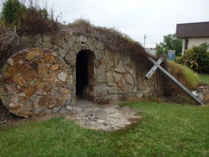
The highway was fast and loud, and its shoulder littered with gravel and broken glass; not an ideal route for a bicycle. What is more, the shoulder served as a kind of hot morgue for local wildlife, and if Louisiana had any need for a public roadkill inspector, I’m sure I could have passed the qualifying examination after just a few miles along that road. I hoped by the end of my trip to be able to tell the animals apart merely by smell, but I found that we all smell about the same when dead. I passed a mock-up of Jesus’s tomb, where I stopped and said a prayer for my trip. There was also nearby a cement casting of the Ten Commandments in English, which had broken in half. Cheap workmanship.
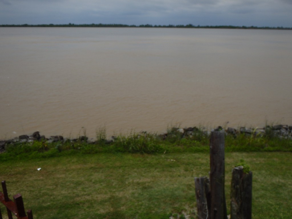
I soon found myself in Buras, which I could tell had some kind of downtown to my right, off the highway, so I took a right turn and found what was probably the old road, going along the river. I passed a sign for a Catholic Church, but the church was gone – presumably destroyed by Katrina. I got off my bike to take a further look.


Post a Comment